The River Derwent begins in Derbyshire at Swaines Greave, close to the county boundary of Yorkshire, and north-west of Grinah Stones.
Actually there is no official location of the source, but the height of 590 metres is recognized. The 630 metre high Bleaklow Hill summit is two kilometres west.
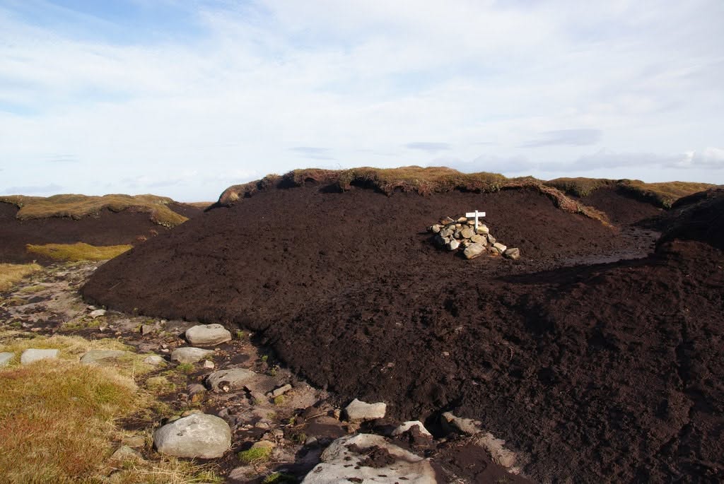
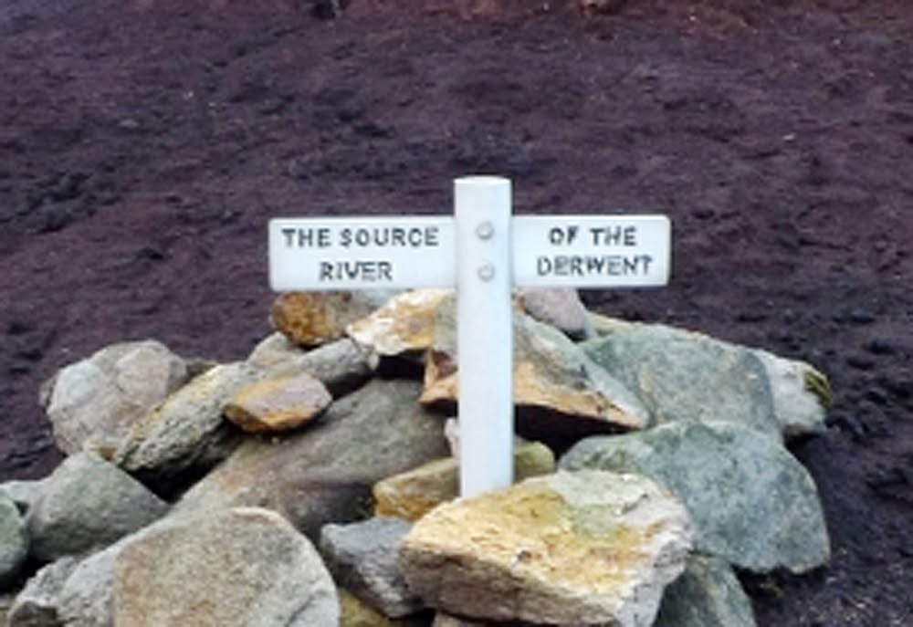
In 2002 a hammered white metal sign was placed on a pile of stones to mark a possible source.
Not many people visit the Source of the River Derwent. The Strava heatmap of walking/running visits in the year to May 2024 shows….no-one!
The OS map shows a nearby spot height of 595m at the top of Swains Greave.
There are at least 14 rivulets in Swaines Greave and they coalesce at the point where the infant River Derwent begins to cut its steeply descending course towards the Derwent Valley Reservoirs.
When it rains heavily on this part of Bleaklow, which is quite a lot, the 14 rivulets shown on the OS map increase to many more. The source could be anywhere within 300 metres of the OS map 595 spot height.
Having made the effort to find the Source of the River Derwent, completing the Derwent Watershed is a worthy challenge.
The Derwent Watershed is a 40 mile long distance route over the high ground around the Upper Derwent Reservoirs, passing the sources of various brooks and rivers which flow into the River Derwent. Yorkshire Bridge or Hope are possible starting points. It is traditionally run at night in midwinter but in my view that spoils the experience as the scenery is unseen!
All rainfall within the boundary of the Derwent Watershed ends up in the River Derwent. Most of it passes through the three reservoirs.
The name Derwent means Oak, and the banks of the Upper Derwent would have been an oak woodland for thousands of years, not the conifer plantations which were created 100 years ago by the Derwent Valley Water Board to protect the reservoir catchment from contaminated run-off from farms and grazing stock.
From the source at 595 metres in Swains Greave the infant River Derwent tumbles 315 metres to reach Slippery Stones. This is the highest point in Swains Greave. Swain means shepherd and the Shepherds Meeting Stones are nearby. I have been up there many times and have never seen a shepherd. Until quite recently there were no sheep up here as they conflicted with the shooting moorland management practice of ground nesting red grouse and their chicks.
The journey of the River Derwent from Bleaklow to its junction with the River Trent south of Derby takes in some of the finest valley scenery in the Peak District National Park. The River Derwent was originally 80 kilometres long (50 miles), all in Derbyshire.
The River Derwent is no longer 80 kilometres long. It has been shortened to 70 kilometres!
From its junction with the River Trent the River Derwent water is carried to the Humber Estuary and the North Sea. It has had its few hours of glory passing through the magnificent scenery of rural Derbyshire.
Writings and photographs courtesy of Mike Browell.